A mountainside gave way, and a river valley disappeared under it.
Nepal: When a Natural Hazard Becomes a Catastrophe
On the morning of August 26, 2026, a glacier and rock mass collapsed near the Nepal–China border above the Bhote Koshi and Trishuli river system. The collapse released a surge of water, ice and debris that tore down the valley into Rasuwa district, striking Timure, Rasuwagadhi and Syabrubesi and destroying hydropower infrastructure, roads and homes (Reuters; ReliefWeb disaster record).
By September 1, the confirmed death toll had crossed 1,000, with more than 11,000 people rescued and international aid pledges exceeding $42 million (Reuters). Search operations are ongoing and the number of missing has not been authoritatively fixed. The figures in this article are current as of publication and will change.
This is a human tragedy first. It is not a metaphor, and it is not evidence about anything happening in the United States. What it does illustrate is a mechanism worth understanding: a single geologic failure high in a watershed can cascade into a flood that arrives downstream with almost no warning. The hazard was one event. The catastrophe came from what was in its path.
The United States has hazards capable of that kind of cascading, regional damage. But the useful question for anyone reading this is not what is possible. It is what is likely, where, and what would it actually do to me.
Possible ≠ Probable ≠ Imminent
Almost every terrifying disaster headline collapses three very different ideas into one. Keeping them apart is the single most useful thing you can do with your attention.
Scientifically plausible. It can physically happen and has happened before.
There is a meaningful likelihood over a defined period of time — a real number attached to a real window.
Evidence indicates it is likely to happen soon. Almost nothing on this page qualifies.
POSSIBLE ≠ PROBABLE ≠ IMMINENT
A catastrophic event can be possible without being probable, and probable without being imminent. Confusing the three is how people end up frightened and unprepared at the same time.
Cascadia Subduction Zone
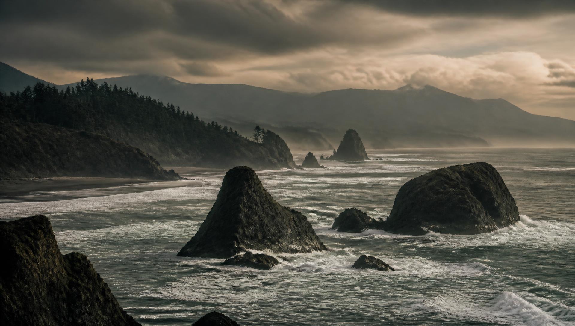
The Cascadia Subduction Zone is a roughly 700-mile fault where the Juan de Fuca plate is being forced beneath North America, running offshore from northern California to Vancouver Island. Subduction zones produce the largest earthquakes on Earth, and Cascadia has done it before.
The evidence: January 26, 1700
The last full-margin rupture is dated to the evening of January 26, 1700, and USGS catalogs it as an M9.0 event (USGS). We know the date that precisely for an unusual reason: the tsunami it generated crossed the Pacific and was recorded in Japanese written records as an “orphan tsunami” — a destructive wave with no felt earthquake behind it. Decades of work reconciling those records with drowned coastal forests and tsunami sand deposits in the Pacific Northwest tied the orphan to its parent (USGS Professional Paper 1707).
The current numbers
USGS Fact Sheet 2025-3050 puts the chance of an M8 or greater earthquake in southern Cascadia at roughly 30 percent over the next 50 years. For a full-margin M9 rupture, the estimate is about 10 percent over 50 years under a time-independent model, or about 15 percent under a time-dependent model that accounts for the 1700 event and an average recurrence interval on the order of 300 to 350 years (USGS FS 2025-3050).
A probability is not a prediction. A 15 percent chance over 50 years does not mean anything is due, and it does not tell you what happens next Tuesday. It means the hazard is high enough that building codes, evacuation planning and household preparedness in that region are rational rather than paranoid.
What it would actually look like
Several minutes of strong shaking rather than several seconds. A tsunami reaching the outer coast in roughly 15 to 30 minutes — before any official warning can meaningfully help, which is why the guidance in tsunami zones is to move to high ground as soon as the shaking stops. Widespread damage to bridges, highways, ports, water mains, pipelines and older buildings. Power, water and communications out across a wide area, with coastal communities potentially isolated. Recovery measured in months to years, not days.
New Madrid Seismic Zone
The New Madrid Seismic Zone sits in the middle of the continent, in the central Mississippi Valley across parts of Missouri, Arkansas, Tennessee, Kentucky, Illinois and Mississippi. It surprises people because it is nowhere near a plate boundary — and because most residents have never felt a damaging earthquake in their lives.
1811–1812
Over the winter of 1811–1812, the zone produced a sequence of very large earthquakes. USGS estimates for the main shocks generally fall in the range of magnitude 7.5 to 8.0, though published estimates vary and lower values appear in some analyses — the uncertainty is genuine and worth stating plainly (USGS FS 2009-3071).
The current numbers
USGS estimates a 25 to 40 percent chance of a magnitude 6.0 or greater earthquake in the zone within a 50-year period, and a 7 to 10 percent chance of a repeat of an 1811–1812-scale event in the same window, with recurrence for the largest events estimated on the order of 500 years (USGS FS 2009-3071). Again: probabilities over decades, not forecasts.
Why central U.S. earthquakes travel
The older, colder, more intact crust of the central and eastern United States transmits seismic energy far more efficiently than the fractured crust of the West. The same magnitude earthquake is felt over a much larger area here. That is why an event centered in the boot heel of Missouri can be felt across many states.
Felt is not the same as damaged. Memphis and St. Louis are the cities most often cited because of their proximity, population and older building stock — but exposure drops off with distance, and “felt in 20 states” does not mean “damaged in 20 states.” Realistic consequences near the zone include damage to unreinforced masonry, disruption to bridges over the Mississippi, interruption of pipelines and rail, and utility outages across a broad region.
The dramatic casualty, displacement and dollar-loss figures that circulate about New Madrid come from a FEMA-funded planning scenario produced by the Mid-America Earthquake Center (MAE Center Report 09-03). Those are modeled outputs built for emergency-planning exercises — deliberately severe, assumption-dependent, and not a forecast of what will happen. We are not reprinting specific figures from them here, because they are routinely quoted stripped of the assumptions that produce them.
Yellowstone
This is the section where we talk you down. Yellowstone is a real volcanic system that has produced three enormous caldera-forming eruptions in the geologic past. It is also, as a practical planning matter, not your problem.
USGS addresses the “overdue” claim directly and rejects it. Their position is that the three known caldera eruptions are separated by intervals that differ substantially from one another, and that you cannot build a meaningful recurrence interval — let alone a due date — out of two gaps between three events (USGS). Yellowstone is not overdue, not due, and there is no evidence indicating an eruption is coming.
You will see a specific annual probability quoted for a caldera-forming eruption in a lot of articles. We are deliberately not repeating it, because we could not confirm it as a current USGS-stated figure and inventing precision is exactly the failure mode this article is about. What USGS does say is unambiguous: such an eruption is extraordinarily unlikely on any human timescale.
The current Yellowstone volcano alert level is NORMAL and the aviation color code is GREEN (USGS volcano updates).
The realistic Yellowstone hazards
Earthquakes and hydrothermal activity. Between 1,500 and 2,500 earthquakes typically occur in Yellowstone and its surroundings each year, most of them too small to feel (USGS). Hydrothermal explosions — steam-driven blasts from the shallow geothermal system — are a genuine, recurring local hazard, and the one that actually affects visitors standing on a boardwalk.
Dam Failure
This is the threat on this page most people underestimate, mostly because it doesn't sound cinematic.
What “high-hazard potential” actually means
It is a consequence classification, not a condition rating. A dam is classified high-hazard potential when failure would be likely to cause loss of human life based on what is downstream. It says nothing about whether the dam is expected to fail, or even whether it is in poor shape. A brand-new, perfectly maintained dam above a town is high-hazard potential (FEMA / National Inventory of Dams).
The numbers
The ASCE 2025 Infrastructure Report Card counts more than 92,000 dams in the U.S. inventory, of which nearly 17,000 are classified high-hazard potential. ASCE graded U.S. dams D+ in 2025, up from D in 2021 (ASCE 2025 Report Card). A D-range grade in ASCE's system means infrastructure in poor to fair condition and mostly below standard, with a strong risk of failure — a category-wide assessment of aging assets and deferred maintenance, not a statement that any specific dam is about to give way.
Two real examples
Edenville Dam, Michigan — May 19, 2020. The earthen embankment failed during heavy rainfall, and the resulting flood wave overwhelmed the Sanford Dam downstream. Michigan's environment agency reports more than 11,000 people evacuated and roughly 2,500 structures damaged; the forensic investigation attributed the failure to static liquefaction instability of the downstream slope (Michigan EGLE).
Rapidan Dam, Minnesota — June 24, 2024. During extreme flooding on the Blue Earth River, the river cut a new channel around the side of the structure in a partial failure. The dam did not fully collapse and no mass evacuation was ordered, but the event took out infrastructure and a nearby building and demonstrated how quickly a compromised structure can change a river's behavior (CNN).
Why it matters more than the odds suggest
The failure probability for any individual dam in any individual year is low. The problem is warning time. A dam failure produces a flood wave, not a rising river — the interval between “there is a problem” and “water is in the street” can be minutes. Downstream exposure is the entire variable. It is also one of the few hazards on this page you can look up for your specific address.
So, Should You Be Worried?
Here is the whole article in one view.
| Threat | Likelihood / Risk | Who Should Care | What It Could Look Like | Verdict |
|---|---|---|---|---|
| Cascadia subduction earthquake | USGS: ~30% chance of M8+ in southern Cascadia in 50 years; 10–15% for a full-margin M9 | Coastal and inland Pacific Northwest — Northern California to British Columbia | Minutes of severe shaking, near-immediate coastal tsunami, regional loss of power, water, roads and bridges, recovery measured in months to years | YES — if you live there |
| New Madrid earthquake | USGS: 25–40% chance of M6.0+ in 50 years; 7–10% for a repeat of an 1811–12-scale event | Central Mississippi Valley — parts of MO, AR, TN, KY, IL, MS | Shaking felt across many states, damage concentrated near the zone, disrupted bridges, pipelines, utilities and river transport | YES / SOMEWHAT |
| Yellowstone caldera eruption | Extraordinarily low. USGS says Yellowstone is not overdue and current alert level is NORMAL | Effectively nobody, as a planning matter | A continent-scale event, which is exactly why it is not a useful basis for personal preparedness | NO |
| Dam failure | Rare per dam, but real: nearly 17,000 U.S. dams are classified high-hazard potential (ASCE 2025) | Anyone living, working or driving downstream of a dam | A fast-moving flood wave with very little warning time, localized but potentially deadly | YES, BUT LOCALIZED |
Notice what the table doesn't do: assign a single tidy percentage to dam failure, or to “natural disaster risk” in general. Where a single probability isn't meaningful, inventing one is worse than leaving it out.
And notice what the fourth column has in common across every row. Power loss. Water interruption. Communications failure. Roads closed. Stores closed or emptied. Possible evacuation. Injuries. Temporary displacement.
Those consequences repeat across every disaster on this list — and across the far more likely ones that aren't on it, like hurricanes, ice storms, wildfires and ordinary flooding. Prepare for the consequences, not the cause. Nobody should be building a plan around Yellowstone.
What Actually Helps
Short list. It covers most of what any of the above would throw at you.
Stored drinking water
The first utility to matter and the first one people run short of.
Shelf-stable food
Food that needs no refrigeration and minimal cooking. Include pet food.
First aid and training
A kit you can actually use. Training beats gear you've never opened.
Flashlights and batteries
Cheap, simple, and immediately useful in every scenario on this page.
Backup power where appropriate
Enough to run phones, lights, a fridge or medical equipment — not the whole house.
A communications plan
A battery or hand-crank radio, plus an agreed way to reach family when cell service fails.
Cash
Card readers and ATMs need power and network. Small bills are worth keeping.
Medications and essentials
The prescriptions and supplies your household genuinely depends on.
Evacuation plan and meeting place
A route, a destination, and a place to regroup if you're separated.
Knowledge of local hazards
Your tsunami zone, flood zone, evacuation routes, and whether you're downstream of a high-hazard dam.
If you want to pressure-test any of this rather than just read about it, our preparedness assessment scores where you actually stand, and the blackout simulator makes you live with the consequences of a long outage.
Where You Live Matters
Every threat on this page has the same defining feature: geography decides almost everything. Cascadia is a Pacific Northwest problem. New Madrid is a central Mississippi Valley problem. Dam failure is a downstream problem. Yellowstone is, functionally, nobody's problem.
You can't control whether a major disaster happens.
You can control how exposed you are to it.
We ranked all 50 states by their exposure to major natural hazards using FEMA's National Risk Index.